When I think about some of the best smaller, more rural New England communities for bicycle and pedestrian paths, a few come to mind.
First, there’s Nantucket, with its network of sidepaths and other shared use paths linking town and beach, but that’s kind of an outlier (literally and figuratively): an island community and well-known tourist destination.
Northampton is a hub for three regional shared use paths. The City’s website proudly reports that “Northampton’s shared use path network (bike paths and rail trails) is easily accessible to about 70% of Northampton’s residents.”
In Vermont, both Burlington and South Burlington feature an abundance of trails, centered on the Island Line Trail/Burlington Greenway and the latter community’s excellent network of major road sidepaths sharing the modest label, the South Burlington Recreation Path.
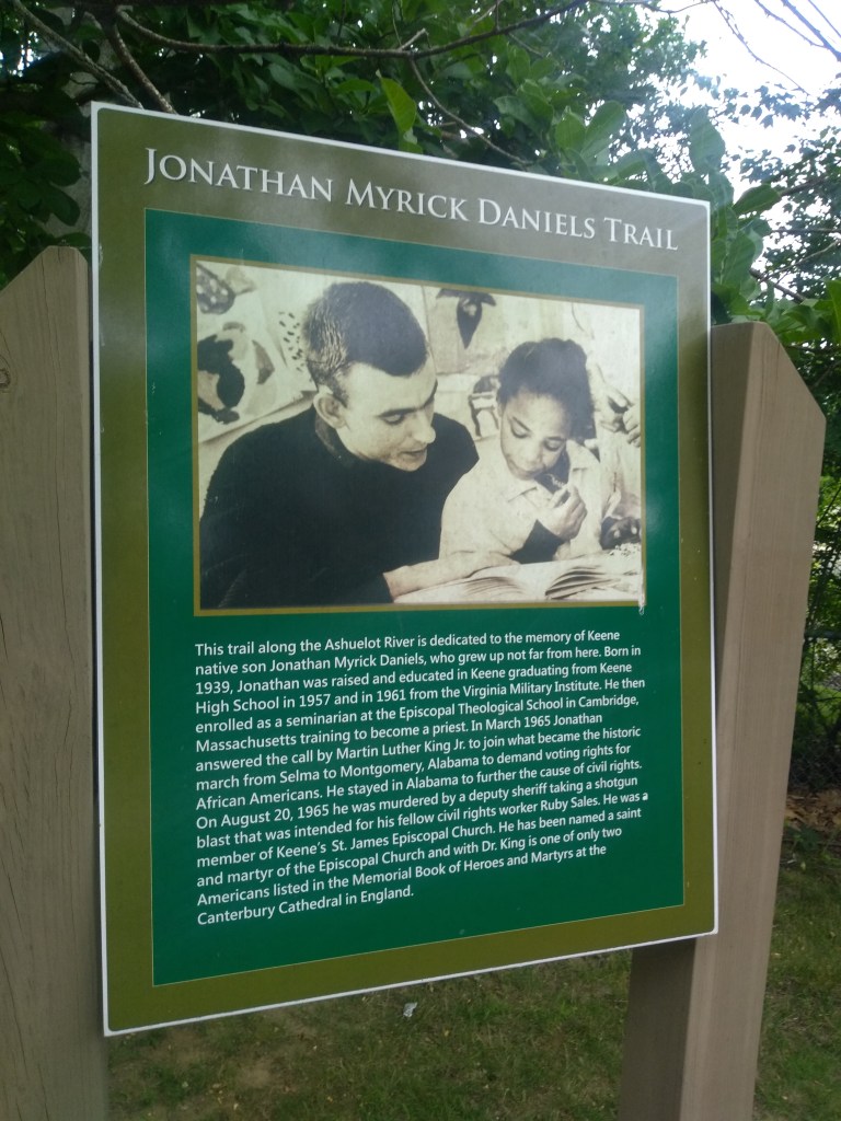
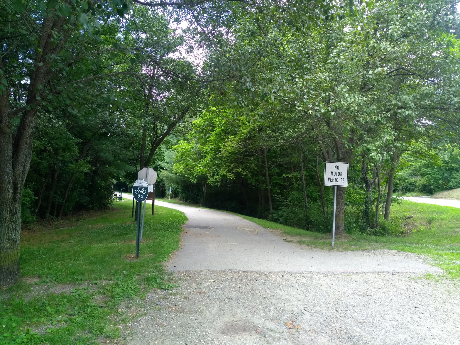
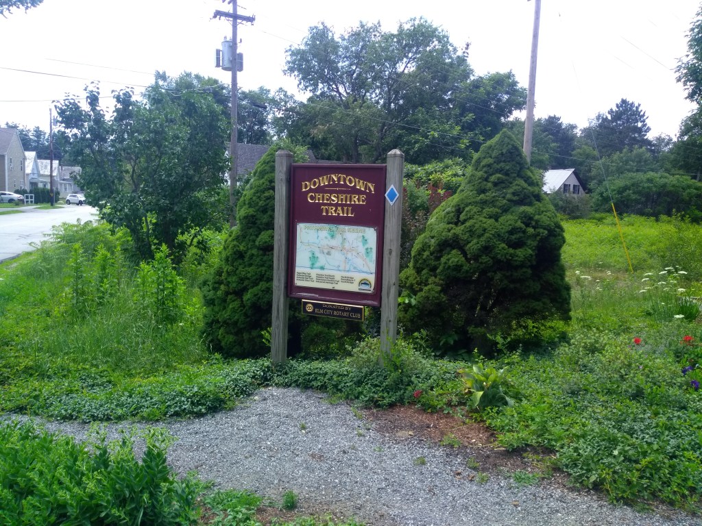
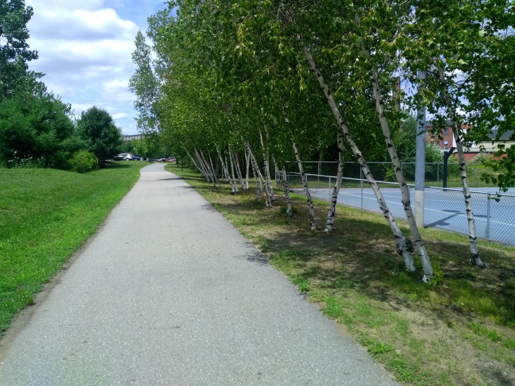
And then there’s Keene (pop. ~23,000), the largest city in southwestern New Hampshire. Keene has a hub-and-spoke trail network that converges downtown. The Ashuelot Recreational Rail Trail goes south past Keene State College and then southwest through Swanzey. The 1.3-mile Appel Way Trail and Jonathan Myrick Daniels Trail are on the northern edge of downtown, and the Cheshire Recreational Rail Trail curves through town, serving as both the western and southeastern spokes of the network.
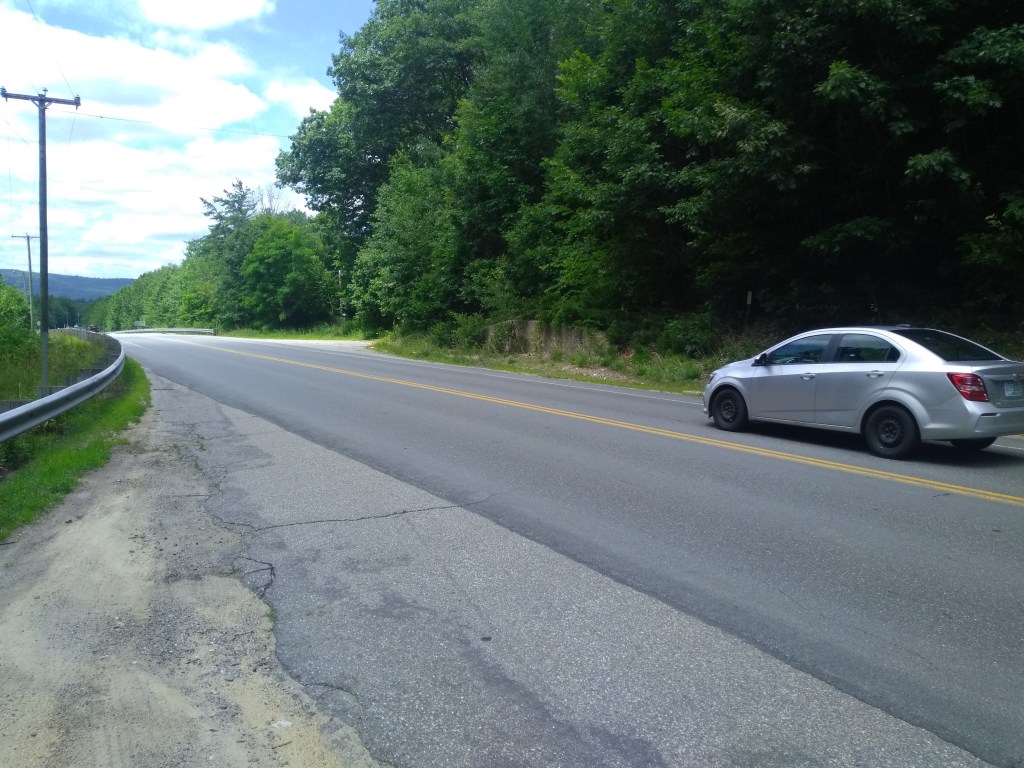
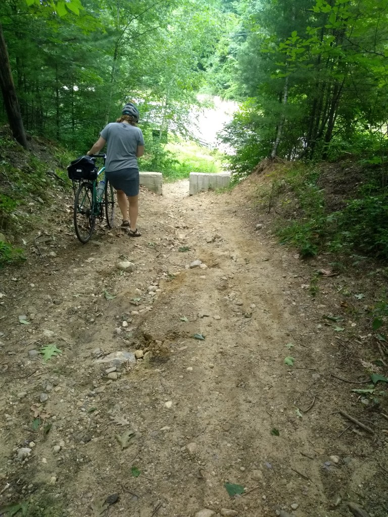
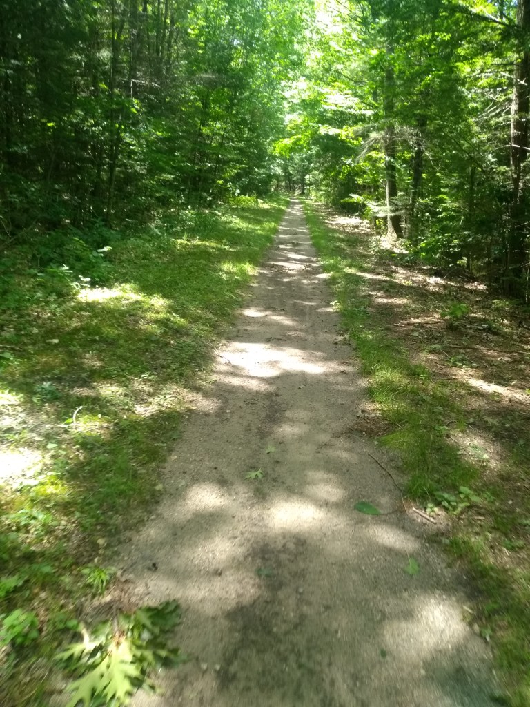
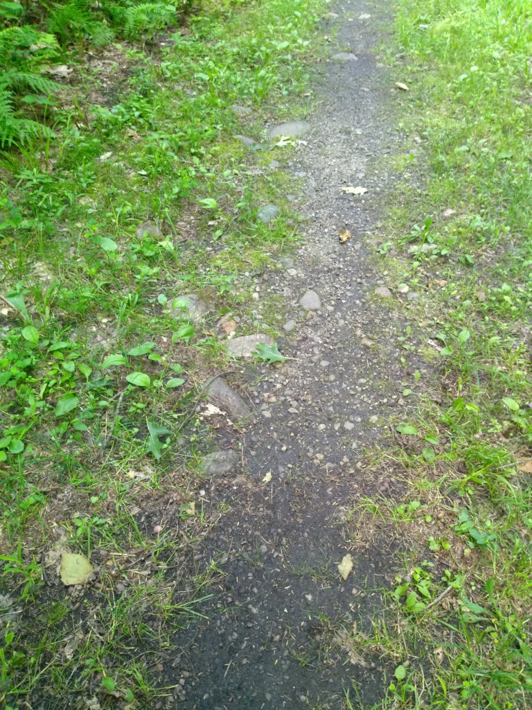
Each of these trails has its pros and cons. The Ashuelot Rail Trail serves the major destination of the college (~3,500 enrollment) and passes over busy State Route 101, but the wooded, gravel path becomes more narrow, rocky, and rutty — more suited for mountain bikes — after West Swanzey. (There are plans to improve it, hopefully the subject of an upcoming blog post.) The Appel Way Trail connects parks, including Keene Bike Park, and conveys trail users through a highway interchange via three grade separations, but it runs peripherally to downtown. The Daniels trail (named after the slain civil rights activist and Keene native) is a pleasant route along the Ashuelot River to the Appel Way Trail, but its terrain and width make it more tailored to walking. The Cheshire Rail Trail crosses Main St. and serves the heart of downtown, and its western segment extends a few rideable miles (with a grade-separated crossing of SR-9), but its southeastern segment ends only about a mile from Main St. There is no SR-101 grade-separated crossing, and south of 101, the trail surface frays out into narrow, rutty hike/mountain-bike suitability, even as the “trail” technically continues on the old rail corridor all the way to the Massachusetts state line.
In other words, the trail has unrealized potential. The newly-finished Cheshire Rail Trail South Plan lays out a strategy for it to reach that potential. The plan is the result of a collaborative effort led by the Southwest Region Planning Commisison (SWRPC). It is informed by public surveys, stakeholder interviews, data collection, and a project working group. In summary, the vision for the future trail is one that “is scenic, accessible, safe, and welcoming to a wide variety of users”, connects to other trails, is maintained collaboratively as a “shared public asset”, and enhances “quality of life, ecology and economic vitality”.
Under this vision are 7 goals:
- Increase awareness of the Trail, among both local residents and visitors
- Increase use of the Trail as an alternative for trips made by car
- Expand opportunities for physical activity and outdoor experiences
- Enhance local and regional economies
- Create an on-Trail experience that is accessible, safe and welcoming for all ages, abilities and user groups
- Facilitate communication and collaboration among Trail stakeholders
- Address challenges related to funding improvements and maintenance
An implementation plan is included with a list of 17 recommended trail improvement projects (13 in NH, 4 in Mass.). The projects are not prioritized, but the plan recommends prioritization as a next step. You can see more details and maps in the plan document linked above, and on this great interactive map, but here are a few highlights.
Transportation Heritage Trail (THT), the next segment of the Cheshire Rail Trail
This planned 1.1-mile trail will extend the Cheshire Rail Trail southeast from its current terminus at Eastern Ave. The existing segment is named the Industrial Heritage Trail (IHT), celebrating Keene’s past industries, and the THT will naturally celebrate the history of transportation technology with interpretive signage.

What’s more, the THT is tentatively expected to have some bits of transportation history in it. Of course, it will repurpose the old rail corridor. But, to get over Route 101, the current idea is that the THT will repurpose the Robert J. Prowse Memorial Bridge, formerly a part of I-93 in Londonderry and now in storage. (One reckons that Prowse, a well-respected mid-20th century bridge designer [PDF] for the State Highway Department, NHDOT’s predecessor agency, would be proud of this.)
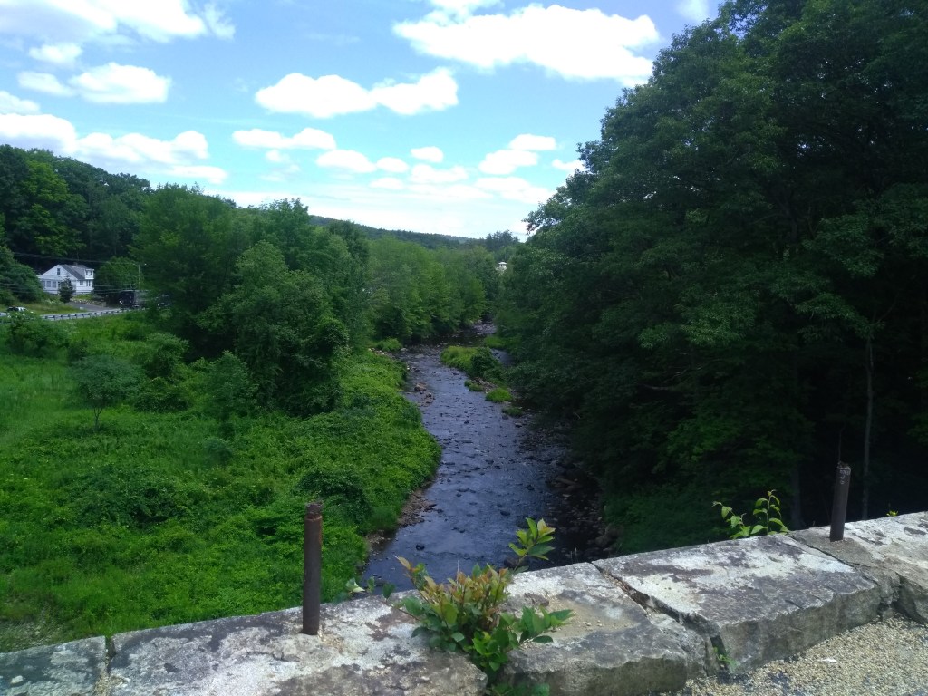
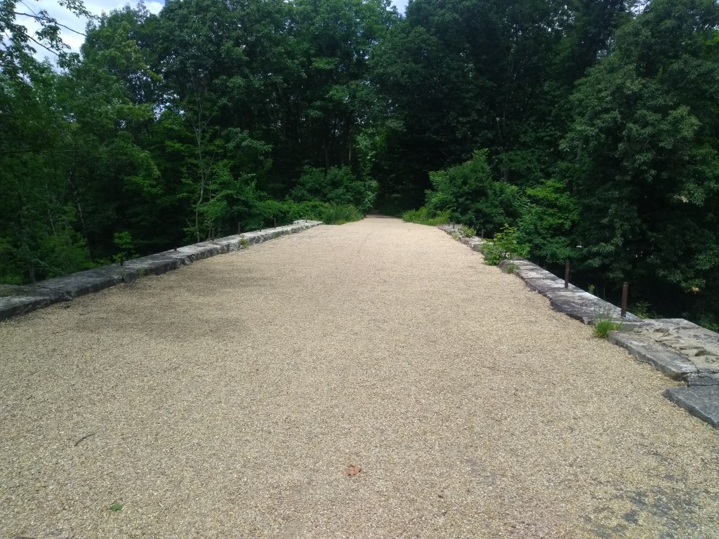
The THT will then use the existing Cheshire Railroad Stone Arch Bridge over The Branch of the Ashuelot River. The bridge is in-tact, wide, and possible to walk on, but it will need railings. Finally, for crossing Swanzey Factory Rd., the THT is expected to repurpose a City of Keene Baily truss bridge.
The resourceful THT is expected to be built in phases in 2025-27, with the Stone Arch Bridge railings and a new trailhead to be done first, then the trail extension from Eastern Ave. to 101 (between Marlboro St. and Chapman Rd.), then the actual repurposed bridge placement. But the Cheshire Rail Trail South Plan makes the caveat that this schedule “will be contingent upon the availability of grant funds and private donations”.
Let’s cross our fingers, because the completed THT would go far in addressing plan goals by connecting to existing and future bike-ped facilities and destinations (e.g. downtown Keene via the IHT), creating a safe and accessible trail experience (by improving major road/water crossings), increasing accessibility to scenic vistas (e.g. on the Stone Arch Bridge), and educating people on a part of Keene’s past.
Trail surface and drainage improvements
Nine of the 13 NH projects involve improving the trail surface all the way to the Mass. state line. Nothing fancy here, mainly upgrading the surface to packed stone dust, with drainage improvements, so that it is usable, accessible, and comfortable for trail users of different ages, abilities, and transportation modes. Notably, the segment from the Swanzey-Keene town line (and future connection to the THT) to Webb Depot Rd. in Swanzey has already been awarded TAP funding, with design in 2021 and construction expected in 2024.
Side note: it looks like someone bike-Streetviewed the trail in Fall 2020, so take a look at the trail conditions on Google Maps.
Ashuelot-Cheshire Rail Trail Connector
This potential project in Swanzey, also recommended in the Ashuelot plan, would forge a lateral east-west connector between the two trails, adding a radial link to the hub-and-spoke trail network. This would involve a trail connection running past residential subdivisions and Keene-Dillant Hopkins Airport. The Cheshire plan notes that this project “has been under discussion for some time” but if built, “it would establish an approximately 15-mile loop that runs through the center of Keene.”
Massachusetts trail connections
Another exciting aspect of this plan is the connections it shows at the NH-MA state line. The Cheshire Rail Trail has the potential to connect not only to the Monadnock Branch Rail Trail in Jaffrey and Ridnge, NH, but also the North Central Pathway, phases of which have already been built in Winchendon and Gardner, MA. Some day, there could be around 30 miles of contiguous shared use path for people walking, bicycling, and (in winter) snowmobiling in this corridor between the two states.
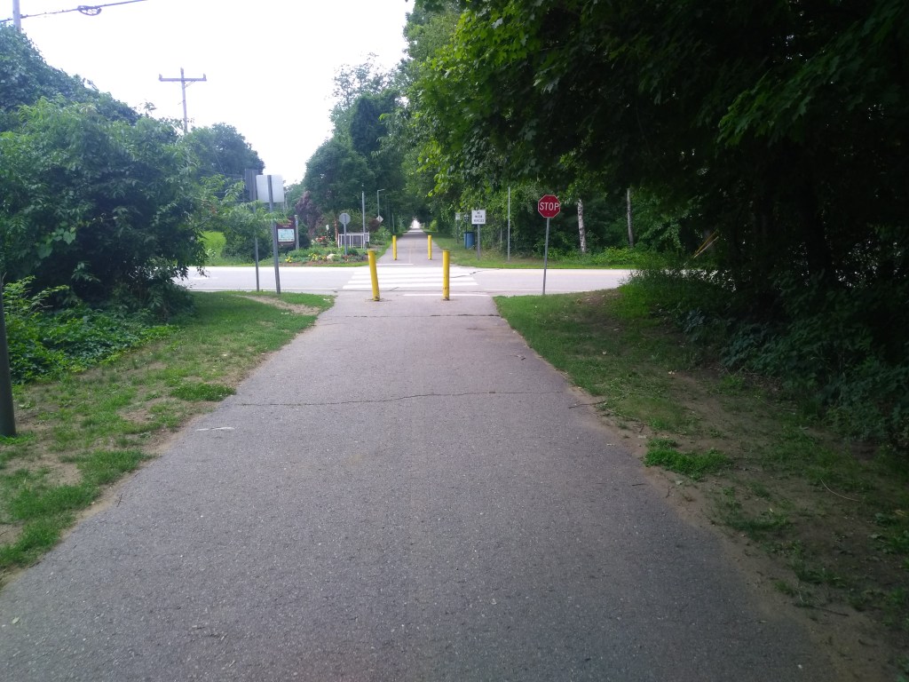
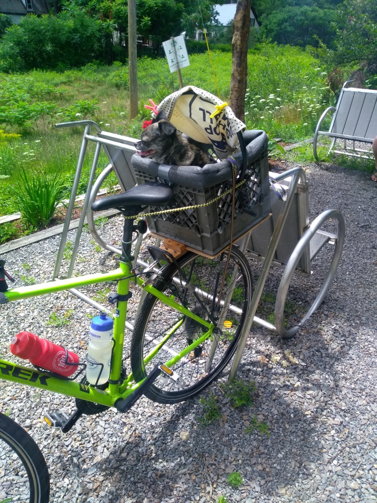
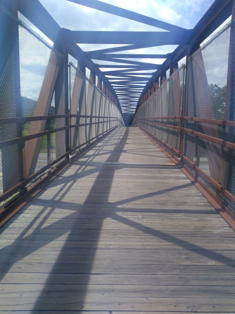
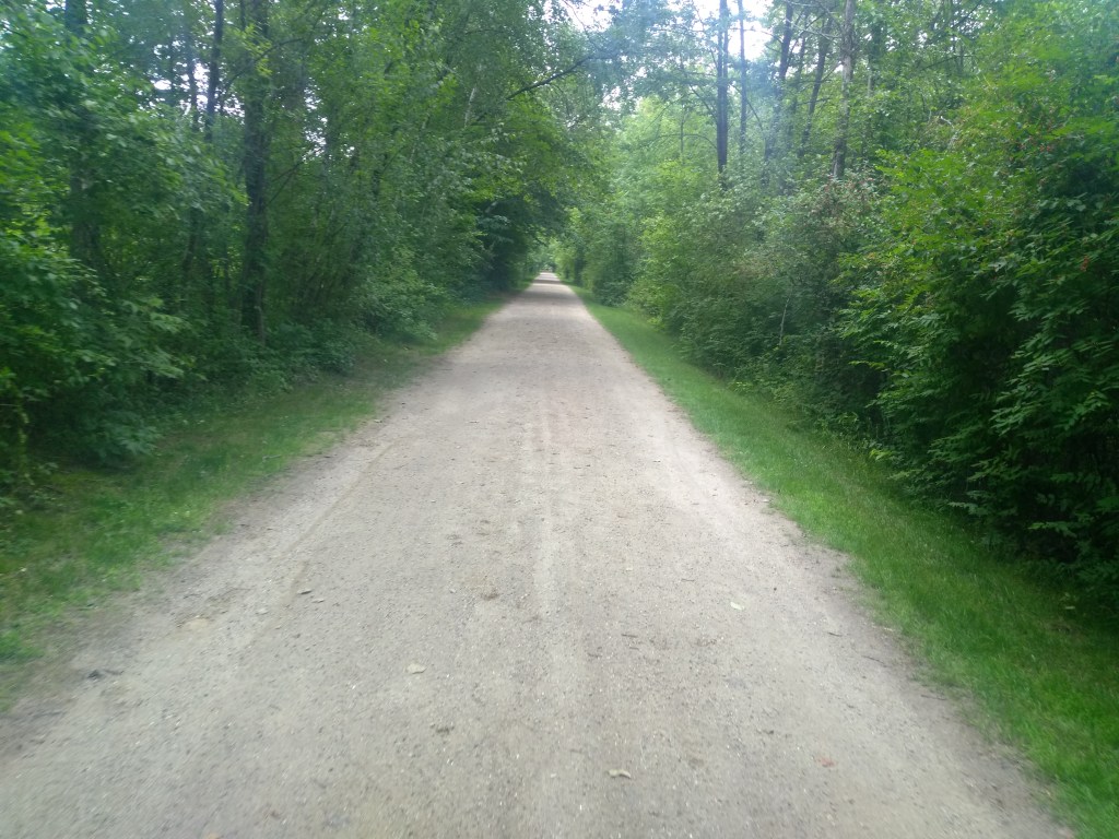
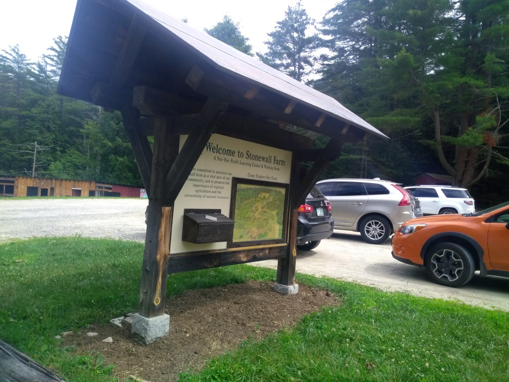
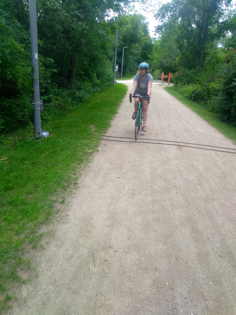
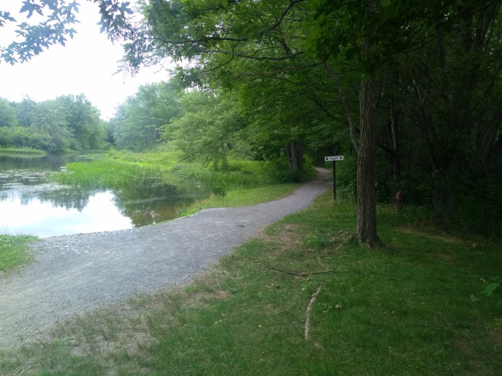
A few more trail photos from July 2020, for fun